

U.N. Endorses Resolution to Accurately Represent Africa's Size on World Maps
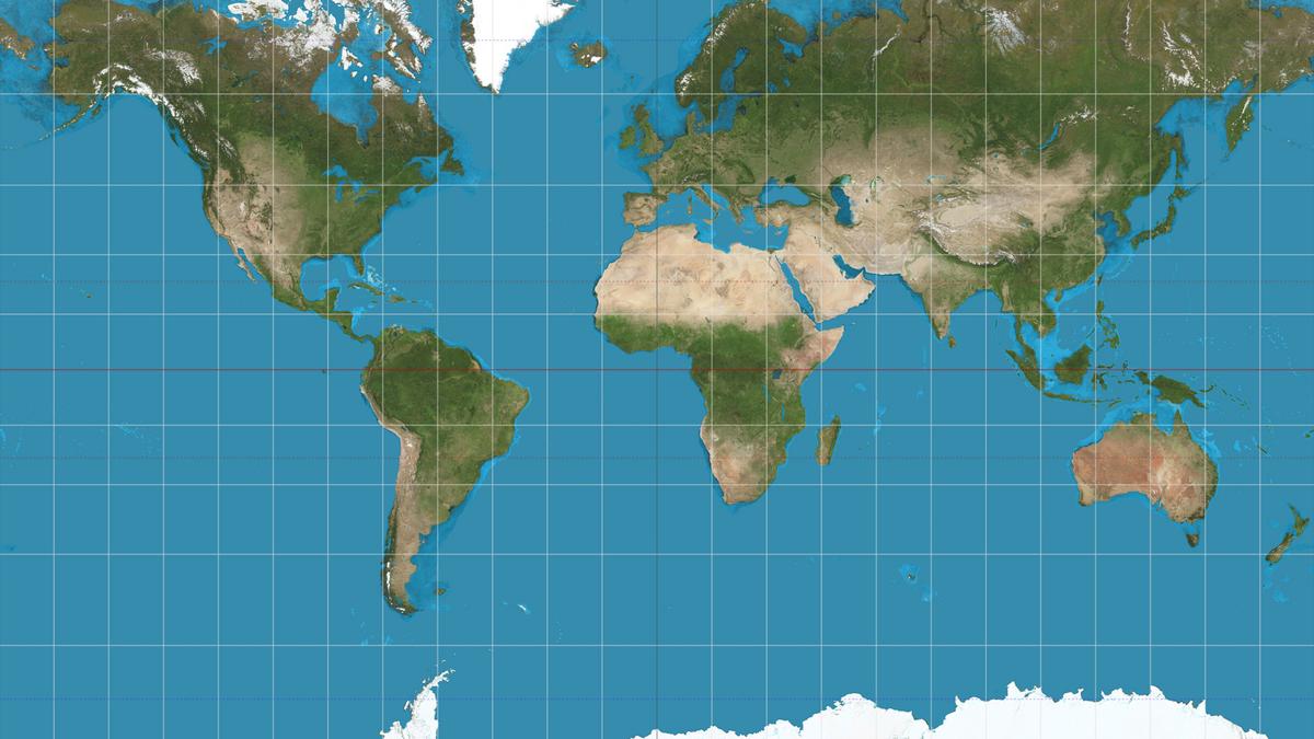
The United Nations has taken a significant step towards addressing historical cartographic inaccuracies by backing a resolution aimed at correcting the depiction of Africa's size on global maps. This move seeks to rectify long-standing distortions that have misrepresented the continent's true dimensions for decades.
Key Details:
- The resolution was overwhelmingly supported by member nations, highlighting a collective commitment to promoting geographic accuracy and fairness.
- Historically, maps like the Mercator projection have exaggerated the size of regions such as Europe and North America while minimizing Africa, leading to misconceptions about the continent's scale and significance.
- The initiative calls for the adoption of alternative map projections that more accurately reflect the true proportions of all continents, ensuring a balanced global perspective.
Implications:
The resolution's endorsement emphasizes the importance of accurate geographical representation in educational materials, international relations, and global awareness. By aligning map depictions with reality, the U.N. aims to foster a more equitable understanding of global geography, enhancing Africa's visibility and influence on the world stage.
Conclusion:
The U.N.'s decision marks a pivotal moment in the quest for cartographic justice, setting a precedent for future efforts to correct historical biases in global mapmaking. As the world moves towards a more informed and equitable future, accurate representation of all continents remains a crucial step in bridging cultural and informational gaps.






 Continue With Google
Comments (0)